Field tools & technology
Tools & Tech
EAS relies on these state-of-the-art tools and additional customized technology and equipment to conduct a wide range of field surveys and sampling campaigns tailored to meet individual project needs. Specific tools and applications include the following:
- Liquid-tip Trident probe. A customized tool for safely and successfully locating groundwater upwellings in offshore waters and sampling and characterizing pore water, surface water, sediment, and soil in complex, normally difficult-to-sample riverbed substrates.
- Specialized tools and technologies to sample surface water, groundwater/pore water, sediment and soil, plankton, coral and deepwater communities, fish, shellfish, and other macroinvertebrates, and other biota
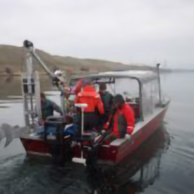
- Specialized vessels outfitted with davits, capstans, underwater cameras, radar, sonar, onboard computers, and specialized equipment for various boat operations and project needs.
- Geographic information systems (GIS) for reporting results in electronic formats with spatial illustration.
- Global positioning systems (GPS) – high-accuracy (sub-meter), real-time, correction-based spatial mapping tools.
- Remote monitoring video cameras and other monitoring tools, including bat echolocation detectors.
- Specialized sampling tools for collecting data on a variety of plants, fish, wildlife, and other biota.
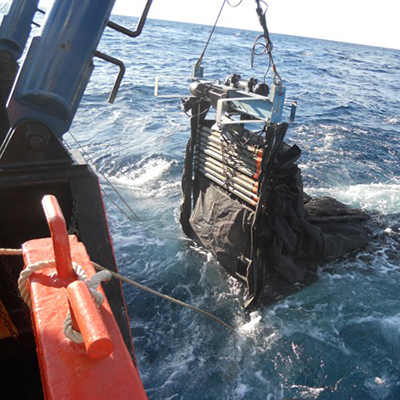
Collecting marine plankton samples using a multiple opening/closing net
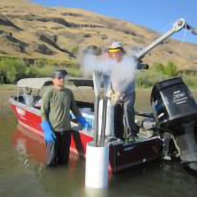
Collecting sediment samples in the Columbia River
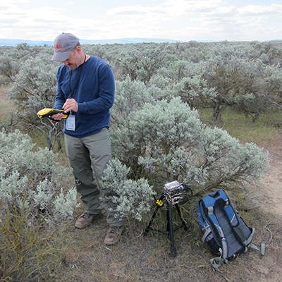
Remote data collection utilizing camera traps
Deploying liquid trident probe
Have Questions?
Contact us Today and we’ll gladly get back to you!
